
Case study
Mapping Road Safety Dark Spots Across 2,400 km Of Indian Roads
340+ high-risk zones identified nationwide.
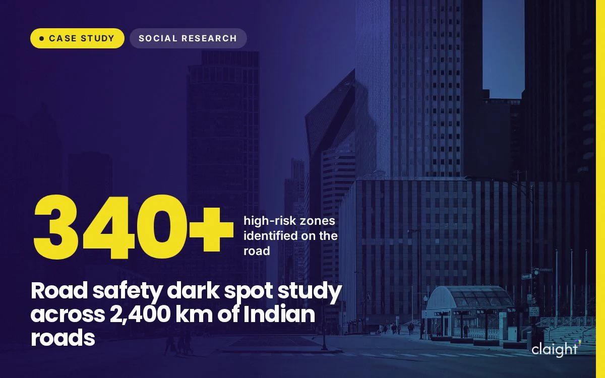
- 2,400+ kmof Indian roads surveyed
- 340+high-risk zones identified
- FinalistMRSI Golden Key Awards 2026
The challenge
What the client needed
Road safety is one of India's most urgent priorities. Accident-prone stretches, known as dark spots, need to be found and documented before they can be fixed, and that means evidence gathered on the ground across a very large road network.
Our approach
How we did it
- On-the-ground surveysField teams travelled more than 2,400 km of Indian roads.
- Geospatial data collectionLocations were mapped precisely so every risk could be traced.
- On-site risk assessmentsEach stretch was assessed for its hazards.
- Infrastructure documentationTeams recorded poor lighting, missing signage and dangerous road geometry.
The results
What changed
- 340+ high-risk zones identified nationwide
- Deficiencies documented: poor lighting, missing signage and dangerous road geometry
- Evidence ready to guide road safety improvements
- Recognised as a finalist at the 7th MRSI Golden Key Awards in Mumbai, 6 March 2026
More case studies
More from the Claight resource centre.


Get results like these
Tell us about your market or sourcing challenge and the right team will reach out within 24 hours.